
High Line Canal Trail Trailheads and Segments

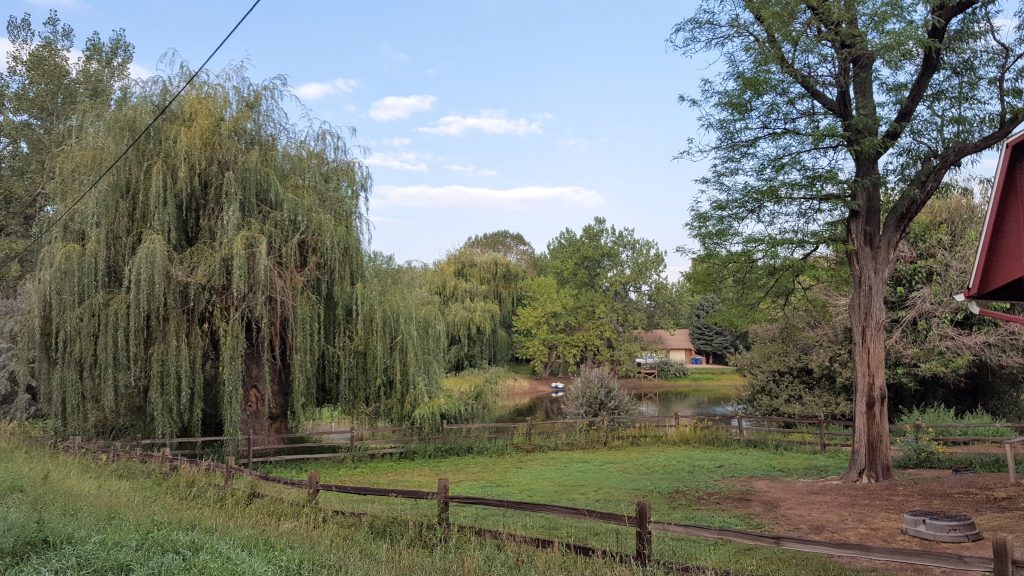
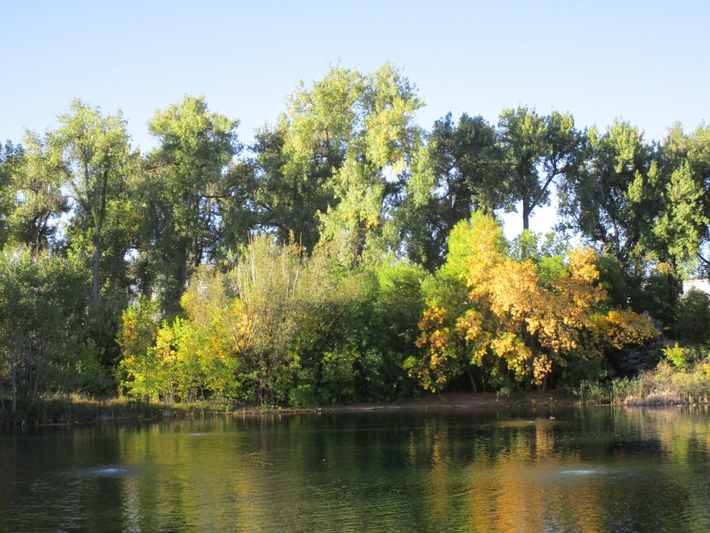
With 71 miles of trail snaking from Waterton Canyon to Green Valley Ranch, jumping on the High Line Canal Trail is easy. But finding the trailheads can sometimes be a bit difficult. Passing through 11 jurisdictions as a flat and curvy trail, the High Line Canal Trail passes through the mosaic that is metro Denver. Here are the trailheads and suggestions for hiking the High Line Canal Trail in a way that suits you.
What Do You Need to Hike the High Line Canal Trail?

You’ll need a few things to have a comfortable hike on the High Line Canal Trail.
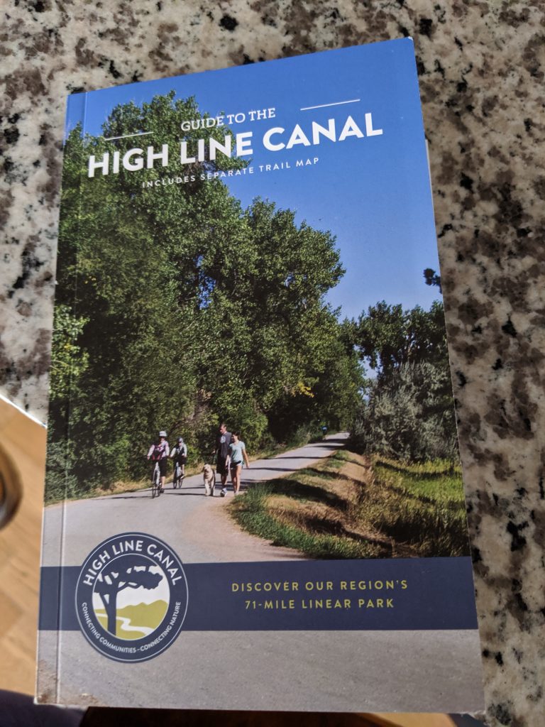
- Book and Map: The Guide and Map from the High Line Canal Conservancy. The book costs about $25, and the map is free.
- Shoes: To walk the High Line Canal Trail, you need a good pair of walking shoes or sandals. Boots aren’t necessary unless the weather requires them. Sandals such as Keen would be fine, although I encourage a closed-toe sandal like these closed-toe Chacos to bar against pebbles and goat heads. In the winter, you’ll want to wear a closed-toe hiker, and you might want to wear ice cleats, but this is a rare requirement. In the winter, the High Line is also a great place to snowshoe or cross country ski if enough snow has fallen.
I get my shoes at REI because of their fabulous return policy.
- Water: For water, carry at least two liters. Water is hard to find along the trail, and I prefer a bladder for efficiency, but bottles are absolutely sufficient.
- Hat: On your head, make sure you’ve got a good hat for either sun or warmth. My favorite hat, the Wallaroo, is made right here in Boulder, and I get to support a local Colorado company.
- Pack: In your pack, add snacks. You might optionally want to throw in a pair of gloves, sunscreen, the ten essentials, and maybe even a pair of binoculars. Watch this video of what’s in my urban hiking pack.
How to Break Up the High Line Canal Trail

Most people can’t walk 71 miles in one attempt. And with no camping allowed along the trail, you’ll need to plan how you’ll walk the entire route. We’ve broken the trail up into three ways to hike it. No matter how you hike it, you’ll want to own a copy of the High Line Canal Trail Guide.
The Guide is essential for a successful hike. Not only does it have a map, but it lists locations of restrooms, discusses incredible Canal history, and provides tips for your journey.

I recommend walking the trail from the northern end at Green Valley Ranch to its southern end at Waterton Canyon. You’ll have the front range in your view almost the entire time.
*A word about the term “segment.” The Guide uses the term segment when breaking the High Line Canal Trail into 27 sections, and the same terminology will continue here. Each recommended option combines the smaller segments from the Guide.
- You can do it in 27 segments of about 2-4 miles a piece (Short and Sweet Option)
- You can do it in 14 segments of about 5-8 miles a piece. (Medium and Enjoyable Option)
- You can do it in 8 segments of 8-10 miles a piece. (Long and Thorough Option)
Hiking the High Line Canal Trail in 2-4 Mile Segments: The Short and Sweet Option

To hike the High Line Canal Trail in 2-4 mile segments, follow the High Line Canal Trail Guide instructions. You can either do out-n-back hikes for each segment, park a car at one end, or do the entire segment by parking a car at both ends. Break up your hike with these trailheads. The Guide supports walking from the south to the north, although you can walk in either direction.
Please note that in some cases, the address given is approximately where the trailhead is, and parking may be on the street in a residential neighborhood.
Segment 1: Waterton Canyon Trailhead. 12437-12489 Waterton Canyon, Littleton
Segment 2: High Line Canal Waterton Trailhead. 10401 Waterton Rd, Littleton
Segment 3: Roxborough Park Road Trailhead. 11498 N Roxborough Rd, Littleton (out n back)
Segment 4: Carder Court Trailhead. 8236 Carder Court, Littleton (out n back)
Segment 5: Carder Court Trailhead. 8236 Carder Court, Littleton
Segment 6: Fly N B Park. 910 Plaza Dr, Highlands Ranch
Segment 7: County Line Road Trailhead. 600 W County Line Rd, Highlands Ranch
Segment 8: S Elati Street Trailhead. 7596 S Elati St, Littleton
Segment 9: Milliken Park. 6445 S Clarkson St, Centennial
Segment 10: deKoevend Park. 6301 S University Blvd, Centennial
Segment 11: S Franklin St Trailhead. 5354 S Franklin St, Greenwood Village
Segment 12: E Orchard Road Trailhead. 4011 E Orchard Rd, Greenwood Village
Segment 13: E Belleview Rd Trailhead. 4343 CO-88, Greenwood Village
Segment 14: Three Pond Park. 4100 S Colorado Blvd, Cherry Hills Village
Segment 15: Mamie D Eisenhower Park. 4300 E Dartmouth Ave, Denver
Segment 16. James A Bible Park. 6802 E Yale Ave, Denver
Segment 17: S Yosemite Trailhead. 8861 S Yosemite St, Denver
Segment 18: S Quebec Way Trailhead. 1900 S Quebec Way, Denver
Segment 19: Expo Park. 10955 E Exposition Ave, Aurora
Segment 20: Del Mar Park. 312 S Del Mar Circle, Aurora
Segment 21: Aurora Municipal Center. 15151 E Alameda Pkwy, Aurora
Segment 22: E 1st Ave Trailhead. 15572 E 1st Ave, Aurora
Segment 23: Norfolk Glen Park. 15800 E 17th Pl, Aurora
Segment 24: Triple Creek Trailhead. 18000 E Colfax Ave, Aurora
Segment 25: E 28th Ave Trailhead. 18239 E 28th Ave, Aurora
Segment 26: Green Valley Ranch East Park. 4455 Jebel St, Denver
Segment 27: Maxwell Pl Trailhead. 5522 Malaya St, Denver
The northern terminus of the High Line Canal Trail is near 6400 Himalaya Rd, Denver.
Hiking the High Line Canal Trail in 5-8 Mile Segments: The Medium and Enjoyable Option
To hike the High Line Canal Trail in 5-8 mile segments, you’ll need to either park a car at both ends or arrange other transportation such as a Lyft. Public transit is not a consistent option, although some trailheads and trail ends are on or near transit, but not all of them.
Break your hike up with these trailheads/trail ends. We recommend starting in the north and walking south. Click on the Medium and Enjoyable Segment names to see maps, videos, and additional instructions for walking the Medium and Enjoyable segments. Miles are approximate.
Medium and Enjoyable Segment Short and Sweet Segments
Segment 14 (click for more info): Segments 27-26 5 miles
Segment 13 (click for more info): Segments 26-24 5 miles
Segment 12 (click for more info): Segments 24-22 6 miles
Segment 11 (click for more info): Segments 22-19 6 miles
Segment 10 (click for more info): Segments 19-17 7 miles
Segment 9 (click for more info): Segments 17-15 7 miles
Segment 8 (click for more info): Segments 15-12 8 miles
Segment 7 (click for more info): Segments 12-10 7 miles
Segment 6 (click for more info): Segments 10-8 6 miles
Segment 5 (click for more info): Segments 8-5 6 miles
Segment 4 (click for more info): Segments 5-4 plus 2 miles to MM 10 7 miles
Segment 3 (click for more info): Segment 3 4 miles
Segment 2 (click for more info): Segment 2 6 miles
Segment 1 (click for more info): Segment 1 4 miles
For more details about hiking the High Line Canal Trail in 14 segments from Waterton to Green Valley Ranch, click here.
Hike the High Line Canal Trail in 8-10 Mile Segments: The Long and Thorough Option
To hike the High Line Canal Trail in 8-10 mile segments, you’ll need to either park a car at both ends or arrange other transportation such as a Lyft. Public transit is not a consistent option, although some trailheads and trail ends are on or near transit, but not all of them.
Break your hike up with these trailheads/trail ends. Miles are approximate.
Long and Thorough Segment Short and Sweet Segments
Segment 8: Segments 27-24 9 miles
Segment 7: Segments 24-20 10 miles
Segment 6: Segments 20-16 10 miles
Segment 5: Segments 16-14 8 miles
Segment 4: Segments 14-10 10 miles
Segment 3: Segments 10-6 10 miles
Segment 2: Segments 6-3 9 miles
Segment 1: Segments 3-1 9 miles
How Will You Hike the High Line Canal Trail?
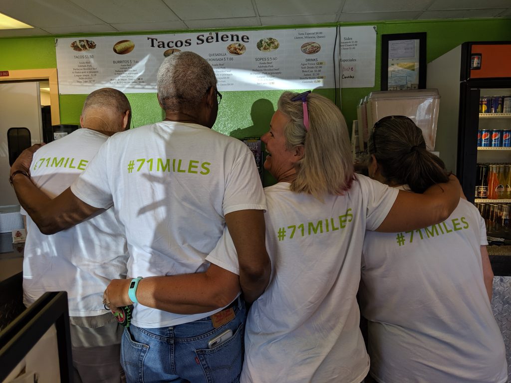
Be sure to post tons of pics of your hike on the High Line, and remember to tag them with @denverbyfoot, #dbf, #denverbyfoot, and #71miles. Let’s see how much fun you’re having on Denver’s best urban trail.
Suggested Books for the High Line Canal Trail
If you only buy one book to experience the trail, buy the Guide to the High Line Canal. If you buy more, see below.
- The Thunder Tree by Robert Michael Pyle
- The Best Urban Hikes: Denver by Chris Englert
- Ditch in Time by Patricia Limerick
- High Line Canal Conservancy‘s Trail Guide.
Thank you for supporting Denver By Foot.
See you on the trail,
Chris