
Trees line the loop with plastic ribbons highlighting the route.
The 5280 Loop is an urban hiking loop within Denver’s city limits that measures 5.280 miles. It’s also a marketing idea put together by the Downtown Denver Partnership to develop a walking/biking path around the city, to link neighborhoods and to connect people. Currently in concept, this urban adventure promises to be world class. I couldn’t be more excited.
A Few Comments on 5280 Loop

Take the A train to Union Station, then start the route on Wynkoop.
I walked the entire loop this past Saturday, stopping at the designated stations to give feedback. (I wish there had been water!) Greeted by enthusiastic folks in bright green 5280 shirts, they welcomed feedback and provided insight into the greater vision. Having walked all of Denver’s 78 neighborhoods and its regional trail system, I have a few comments and enthusiastically support this amazing project.
From Union Station to 21st Street through Five Points
My first suggestion is a big one, and I’m sure many people have tried to tackle it before me. I’d love to see Wynkoop be a pedestrian/bike zone only. There’s no reason for car traffic between 16th and 20th. If folks need a way to drive to the train, develop a drop-off for Union Station on the west side and/or along Wazee. Extend the streetscape that’s on the west side of Wynkoop to the east side.
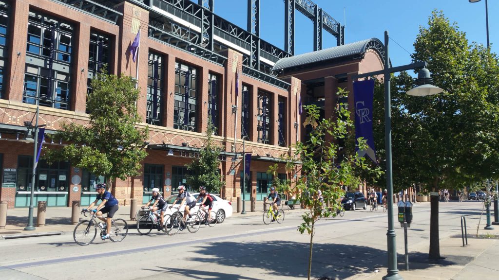
Let’s make Wynkoop car-free!
Route the trail through the awesome Evolution of the Ball artistic gate before routing via the treescape at the corner of 21st and the parking lot. As folks head up the hill out of the parking lot, improve the shade and put in some interpretation of how the ballfield came into being.
Approaching the Five Points area at Larimer and down through Tremont, add in some of the Beat history that Neal Cassady and Jack Kerouac brought to the neighborhood. Extend the interpretation found near Blair Caldwell Library into this west side of the neighborhood and highlight where Five Points got its name.
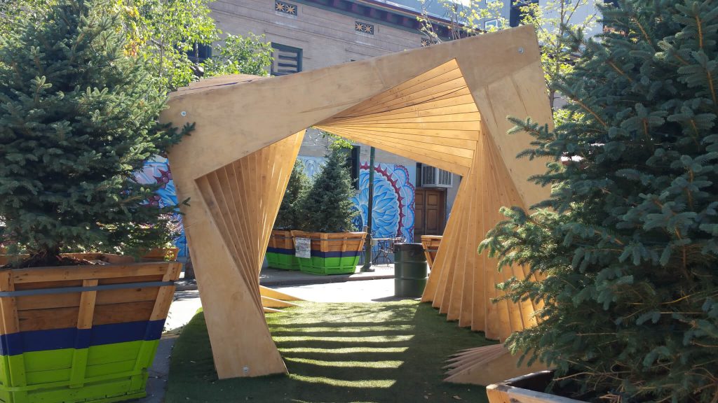
The pop-up park on 21st is a nice addition, and it should stay!
I love routing the trail through the alley, as there an incredible love affair with our alleys, and the oppportunity to bring that love here is outstanding. But rather than scooting the route immediately over to Sherman, it’d be great to loop around Fountain Park.
From Five Points Past the Capitol to Lincoln Park

Denver’s capitol sits in the middle of the loop.
Of course walking past the capitol must involve a stop at the 5280 steps. Perfect! Continuing along Sherman to 12th is a bit hot and nasty with all of the private parking lots, but the housing on the east side of the street with the quotes in the exterior walls tells an interesting story. I also think going down 13th to Cherokee would be more interesting and engaging than 12th.

Quotes on the wall tell a compelling story.
Crossing the Cherry Creek at 13th is a bit more obnoxious than crossing at 11th, which I’d recommend. While crossing Cherry, it’d be great to provide incentive to look down creek toward Confluence to see all the public art along the walls that frame Cherry Creek Trail. Also, the amazing history of Cherry Creek in Denver’s settlement could also begin to be told here and continue on at the more westerly crossing at Auraria.
From Lincoln Park to Auraria

You’ll cross Cherry Creek twice. The loop should also connect the Platte.
Routing the trail south along Galapago past West High is a bad idea. With the different traffic patterns invoked during school hours and the mass congestion of the school’s comings and goings, they do not create a pleasurable experience for 5280 Loopers. Instead, keep the trail on 12th to get across the hard-to-cross Santa Fe and/or Kalamath, and then head south to 11th.
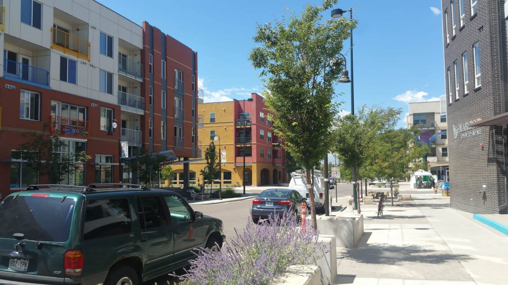
Mariposa is a vibrant, interesting area.
Lincoln Park neighborhood with its history to the relocation Auraria residents and the renovated Mariposa area are super stories and visually appealing. I love having the trail go by Buckhorn. That’s fun. Lincoln Park, one block north, also provides a nice shady break before hitting the awful block on Osage between 13th and Colfax.
From Auraria back to Union Station
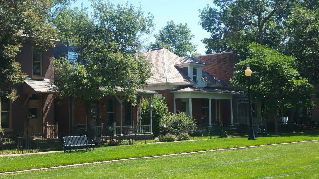
Incorporating all of Auraria’s history is a must.
Routing the Loop through the Auraria campuses and past the 9th Avenue Historic District is appealing. Rather than continuing along Curtis to 11th, I’d love to see the trail take a left on the 9th Street Plaza, go past Golda Meir’s Museum and St Catejan’s (the current Higher Ed Center), then take a right on Larimer Plaza. At 11th St, they’d take a left and continue on the proposed route.
Passing by the Pepsi Center is a great idea and would provide some good transit options when there are events. Folks might get a little lost trying to figure out how to take the trestle across Cherry Creek, but there are many crossing options here. It’d be great to connect the information at this crossing about this history of Auraria and Denver with the more easterly crossing on 13th.
Rather than crossing to get to Wynkoop, it’d be fun to move the trail one block NW to Wewatta. Then, 5280 Loopers could pass the giant swings at Trail Tracks Plaza, then drop onto 16th Street Mall to go one block South to Wynkoop and then back to Union Station.
What’s Missing
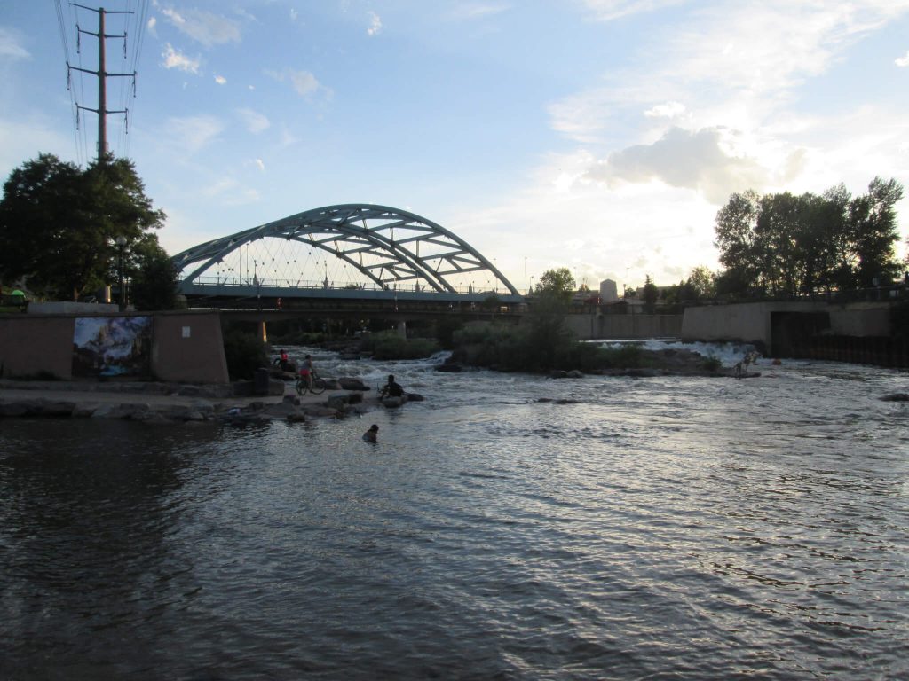
Connecting with the Platte is a rich opportunity.
It’s difficult to stay at the macro level in this conceptual phase, as there’s a natural tendency to ask about the water fountains, place making, resting, and wayfaring. But one glaring omission is the connection to the Platte River and its trail. Denver’s story exists because of the Platte and the Cherry, and the Platte is a major transit thoroughfare for walkers, hikers, and cyclists. The Loop connects to the Cherry, and it should connect to the Platte.
My suggestion would be to take the trail westerly up 15th, along Little Raven St, and back down 16th. Or, extend the walk through the Auraria campus to Confluence Park and cross back over the Platte at the 16th Ave pedestrian bridge. Omitting this connection is a huge missed opportunity.
Let’s Do This
These suggestions are just a first blush after one walk in a clockwise direction. See this map for the current route (in red) and an attempt at the suggestions above (in yellow.) I hope the Denver Downtown Partnership and Civitas will work with Walk2Connect, WalkDenver, and BikeDenver to develop a route that pleases as many folks as possible. This is an idea worth doing.
~See you on the trail.
Chris


