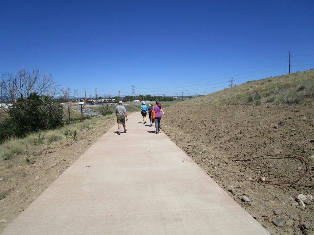
Where Can You Walk on a 6-Foot Wide Path in Denver Right Now?
Fortunately for us in Denver, we have miles and miles of trails and paths right in the city and county of Denver that you can safely walk at 6 feet apart from each other. During this time of sheltering, quarantining, and stay-at-home orders, it’s important to not only get your daily exercise and fresh air, but to also pay attention to these government-mandated orders and practice social distancing. One important thing to remember is to stay six feet apart.
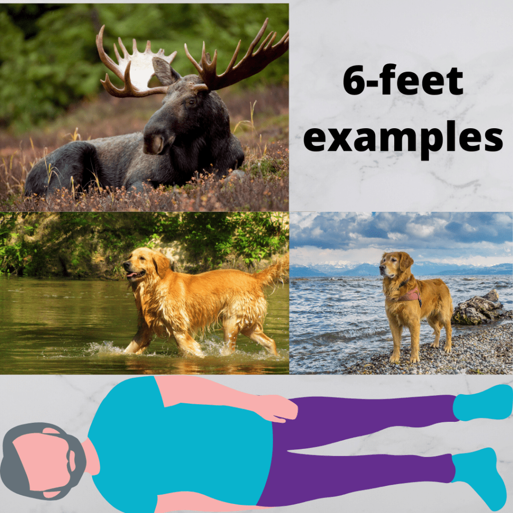
So, how wide is six feet? We’ve got several examples for you:
- A moose rack
- Two golden retrievers
- The height of Bradley Cooper, Harrison Ford, or Denzel Washington
Whatever measurement you need, make sure you’re using it for 360 degrees of your body, including if you’re walking with family members.
Keep 360 Degrees of 6-feet
So how do you keep 360 degrees of separation, especially if you don’t have enough sidewalk or trail? Just as you would yield on a hike to those coming uphill, horses, and other hikers, all you need to do is step aside. You can step onto the bank or carefully into the street to let someone pass with six feet, or if you are passing them, go wide. Just make sure to keep Harrison or Denzel between you.
Where Are the 6-foot Wide Paths?
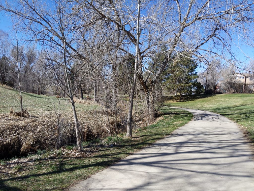
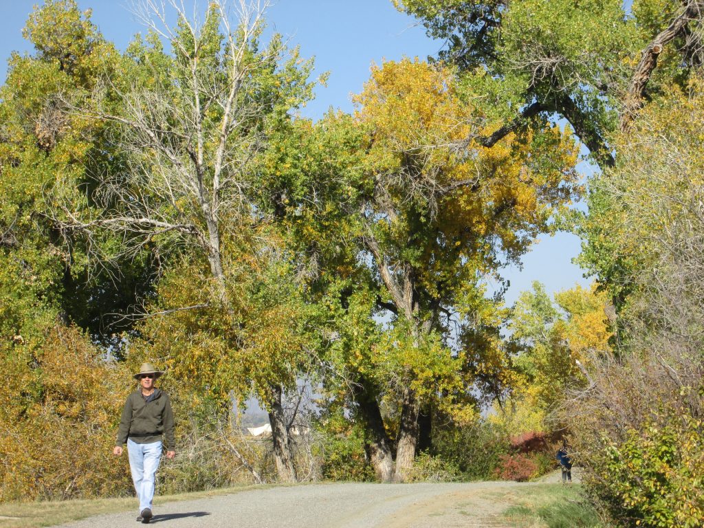
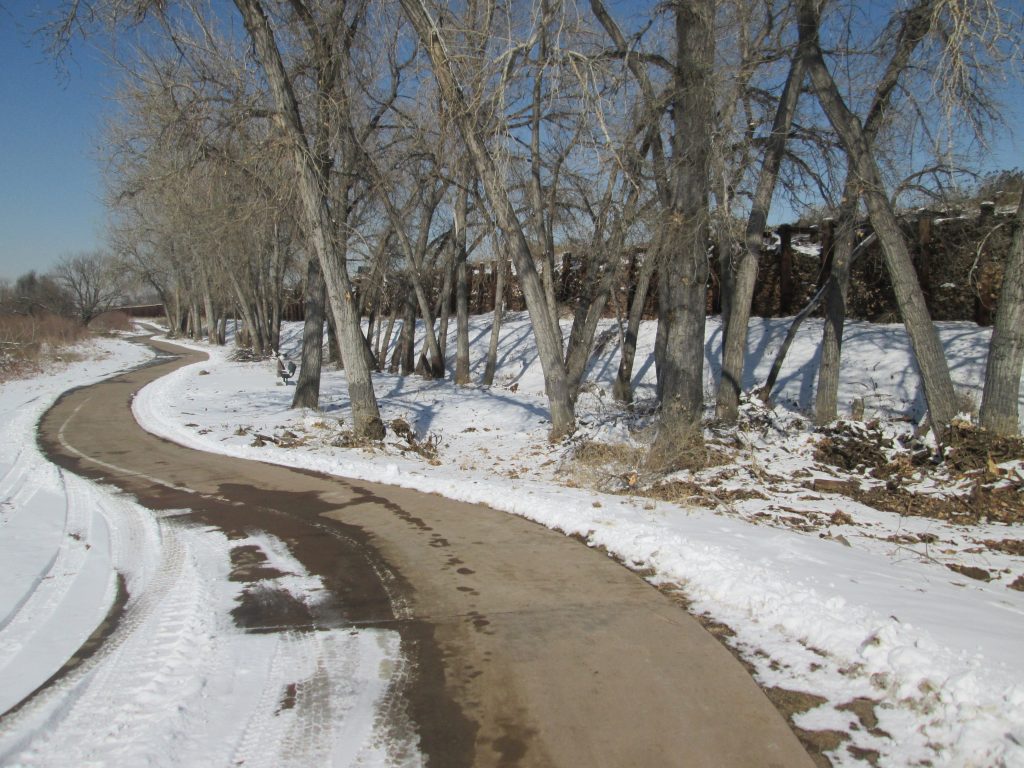
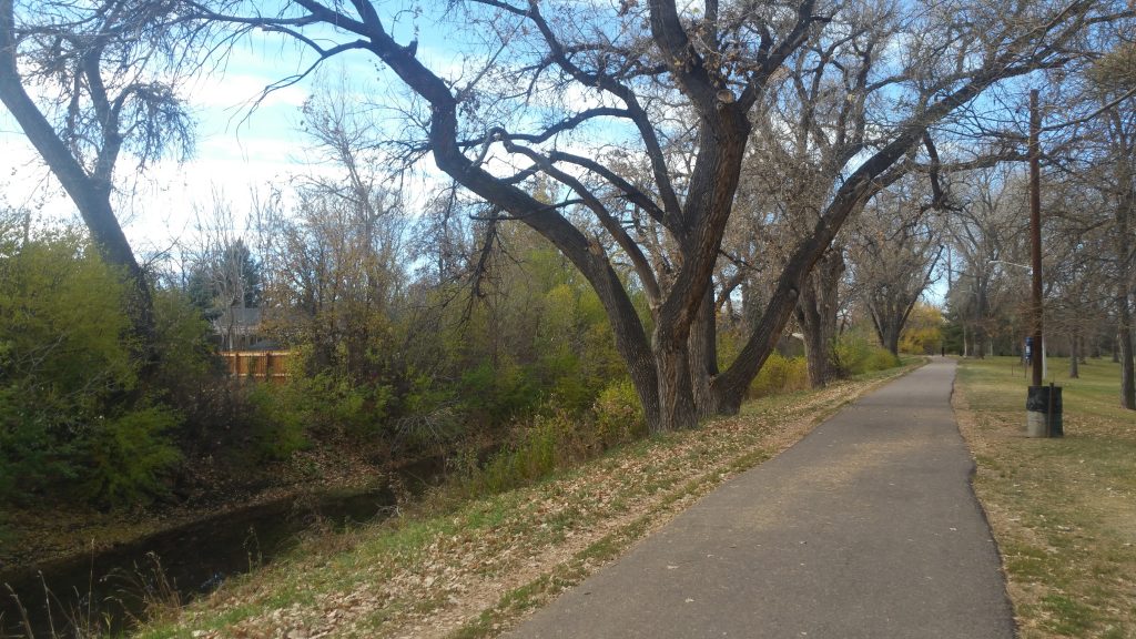
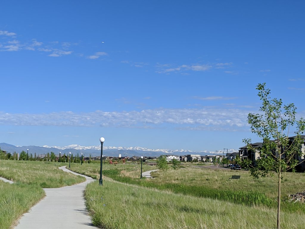
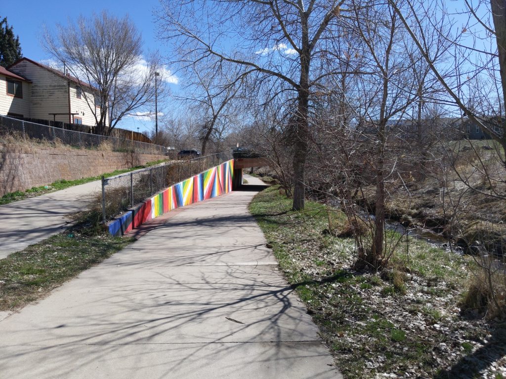
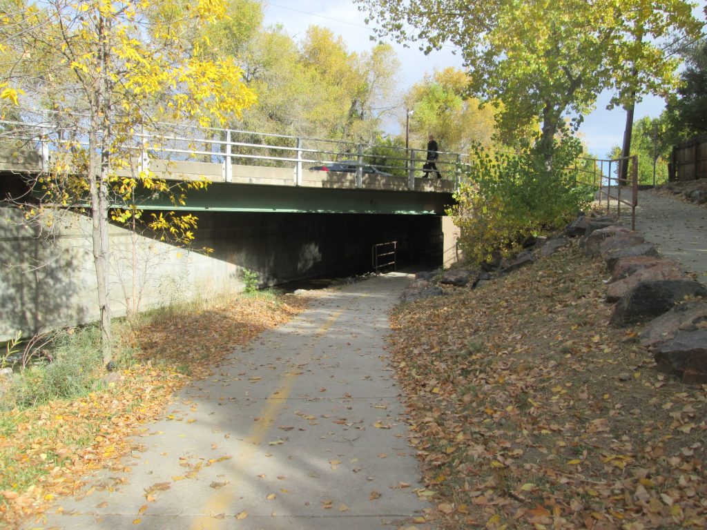
Here is just a short list of places that you will find 6-foot wide (at least) paths to take a walk in Denver. Many neighborhood parks also have 6-foot wide paths (see Discovering Denver Parks), as well as many of the trails that span the region (see Best Urban Trails: Denver).
1. The Sand Creek Greenway: a 14.1 mile, mostly concrete trail that goes from Aurora to Commerce City through Denver. It’s wilderness in the city; you might find deer, elk, cats, ducks, and coyotes. Here’s how to walk the Sand Creek in segments and get your coveted completion patch.
2. The High Line Canal Trail: a 71 mile, concrete/asphalt/dirt trail that goes from Green Valley Ranch to Waterton Canyon. It’s a meandering trail that goes from rural to suburb to urban to agricultural to rural. Get the amazing Guide to the High Line Canal from the High Line Canal Conservancy or walk it in segments.
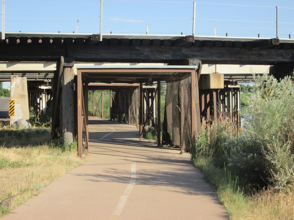
3. The Platte River Trail: a 28.5 mile, mostly concrete trail that winds along the South Platte River from Englewood to Thornton, changing names and going further in both directions. You’ll pass great Denver landmarks and parks and several confluences along the way.
4. The Cherry Creek Trail: a 12.7 mile, mostly concrete trail that goes from Franktown to downtown Denver. Parts of it can be narrow as you’ll share it with bikes. Near downtown, there’s a ped side and a bike side. Amble along the Cherry Creek and use the dirt trail along it to allow for proper social distance yielding. Enjoy the amazing art program along the way. Combine the Cherry with the Platte and do this loop.
5. The Clear Creek Trail: a 20.1-mile, mostly concrete trail that ambles Coor’s water source from the Platte River to Golden. You can even pan for gold along the way, or just enjoy some of the giant cottonwoods along the bank of the Clear Creek.
6. Lakewood Gulch Trail: a 4.1 mile, concrete and asphalt trail that moves along the Lakewood Gulch from the Platte River to Lakewood. You’ll need to walk some narrow sidewalk toward its western end for just a short distance, so be sure to step aside to allow for 6-fooot distancing. Several great parks are along the trail, including the fun Paco Sanchez, which is under construction at the time, but will open soon. Park at Rude Rec Center to start.
7. Central Park, Greenway, Prairie Meadows, Uplands, Prairie Basin, Westerly Creek Parks in Stapleton (now Central Park.) All of Stapleton’s parks have paths that are at least 6-feet wide. Whether south of I70 or north, you’ll find miles and miles of paths to safely amble with strollers. There’s even a route that will take you to the old Stapleton runways. Note: In the summer of 2020, the Stapleton residents renamed their neighborhood to Central Park.
8. The Wellness Trail at 51st and Zuni Park: a 3.5 mile sidewalk/path, well-marked exercise trail that circles the park and passes through Chaffee Park neighborhood, including several points of interest such as Clear Creek Trail, Rocky Mountain Lake Park and the Sister Gardens at Aria.
9. James A Bible Park: Looping around the horseshoe-shaped park, you can keep safe social distancing along the hard-packed dirt on High Line Canal Trail and then cut back to your starting point along Yale Blvd for a longer loop or back through the park for a shorter loop.
10. Harvard Gulch Trail: 2.5-mile concrete trail along the Harvard Gulch that takes you through some wonderful little parks with historical significance, including SR DeBoer Park and McWilliams Park. You’ll find it runs from Harvard Gulch Park to Colorado Blvd. You will need to use a combo of sidewalk and path to complete the length of the trail.
11. As a bonus, if you want a giant walking project, take on the 9 Creeks Loop. You’ll be on a 6-foot wide (or more) trail almost the entire time and do a 360-degree loop around the city and county of Denver. Here’s how to walk the 9 Creeks Loop in segments.
Stay Safe Walking in the Time of Coronavirus
Stay safe out there. If our shelter-in-place orders narrow us down to staying in just our neighborhoods, please take advantage of searching this website. There’s at least one curated walk for every Denver neighborhood. In this time of coronavirus, let’s get on our feet and explore our neighborhoods while staying healthy and social distancing.
What did you like about this walk? Post it on Facebook and tag your posts with #denverbyfoot so I can find them.
See you on the trail!

