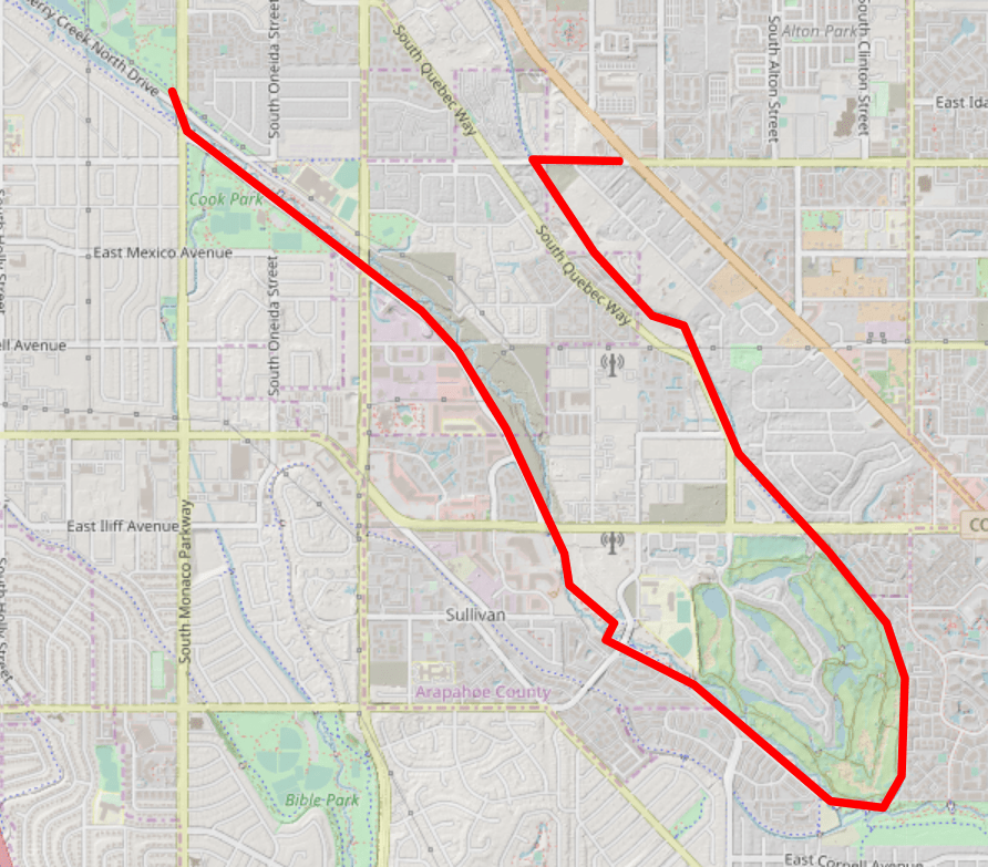
Hiking Along the Cherry Creek Trail Portion of the 9 Creeks Loop, Segment 6
The 9 Creeks Loop is a 42-mile hike that physically circles the city of Denver on the trail. It uses a combination of 4 regional trails to lap the city. I have broken the 42 miles into 8 easy ~5 mile segments that are flat, have easy-to-find trailheads and trail ends, and all can be walked in any direction. Transit is primarily available to the trailheads, although you may need to be a bit creative. When I walk the loop, I often will take a Lyft. You can certainly walk the segments as out-n-backs as well.
Trailhead: Eloise May Library (1471 S Parker Rd, Denver, CO 80231)
Trailend: Garland Park (6300 E Mississippi Ave, Denver, CO 80224)
Highlights: Cherry Creek Golf Course, Cherry Creek Confluence
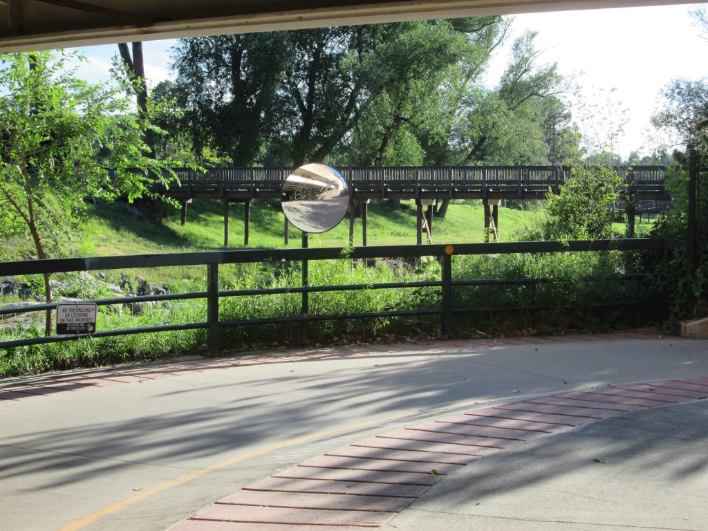
9 Creeks Loop Segment 6 Miles 25-30 Back from the Outskirts of Denver
After walking on the High Line, you’ll finally exit the High Line Canal trail and start the Cherry Creek. The atmosphere changes from a meander to a commute! The Cherry Creek Golf Course homes dot the horizon along the golf course as you head northwest up the creek and into urban Denver.
Start in Arapahoe, But End in Denver
Park at Eloise May Library, and then walk 1000 feet to the west along Florida to pick up the trail. Take a left and continue south. The trail will be double-wide at this point, with bikers taking the asphalt and walkers taking the pebble trail that parallels it. Head under Iliff through the tunnel, and you’ll come out at the Cherry Creek Golf Course.

Big Houses at a Beautiful Confluence
The asphalt trail parallels the golf course with nice vistas of giant houses on the right and nicely appointed apartments on the left. The users of the trail change here, being replaced by folks who are serious about their exercise, walker, runners and bicyclists alike!
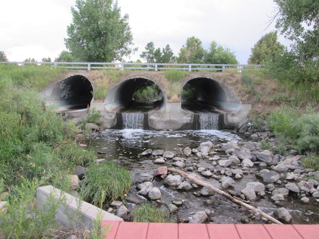
After walking next to the Cherry Creek fairways, you’ll come across a large, odd, cement structure on your left. The High Line Canal diverts through this structure under the Cherry Creek to the south. Right past the structure, the Cherry Creek offers up a cool respite of flowing water, trees, and even a bench. Signage directs you south on the High Line Canal Trail or west to the Cherry Creek North Trail. Head to the right along the Cherry Creek Trail , and pick up the next of the 9 Creeks, the Cherry Creek.
How Many Creeks Have You Crossed by Now?
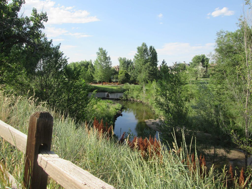
Immediately the Cherry Creek’s atmosphere changes. Where the High Line sports casual walkers and evening strollers, the Cherry Creek becomes a race way, especially during rush hour. Mind yourself and stay to the right of the trail or use the dirt foot path that parallels it. You’ll eventually leave the Cherry Creek Golf Course, cross over Cherry Creek, and into an industrial area. The golf course to your right is replaced by a chain link fence.
Yes, There’s Industry in Cherry Creek, Too
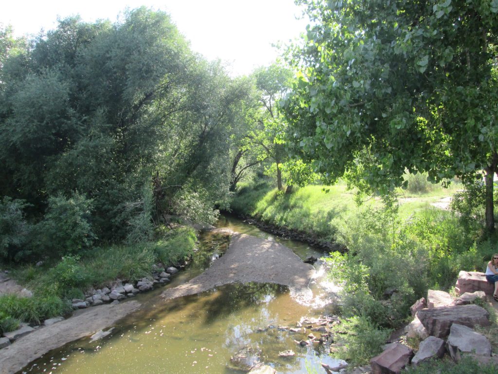
While wandering through the industrial area, you’ll come across your next creek of nine, the Goldsmith Gulch (whose creek is also known as Goldsmith Gulch) at Cook Park. Cross over Monaco and continue along until you come to Garland Park, your stop for this segment. Another busy park, pay attention to the large amount of running and biking traffic as you make your way to your parked vehicle.
Did you enjoy the 9 Creeks Loop Segment 6 Miles 25-30? Would you like to do segment 7?
Walking the 9 Creeks Loop and Denver By Foot
You can find more information about the 9 Creeks Loop here. Follow us on Instagram and Facebook to keep updated with new hikes and adventures.
Thank you so much!


