
Denver Regional Trails
The Denver Regional Trail network spans hundreds of miles within metro Denver. Find more information about some of the major trails within the Denver Trail Network below.
Denver Colorado Trail Map
From nature walks to neighborhood history, urban hiking and walking in Denver allow you to choose the path that suits your goals, personality, and location. The City and County of Denver maintains over 80 miles of urban trails throughout Denver and hundreds of miles of sidewalk, some following along waterways like the Cherry Creek or Platte River.

Frequently Asked Questions about Hiking in Denver
Where to hike in Denver?
Taking advantage of Denver’s lower altitude, there are over 200 miles of regional trails within the city and county of Denver. A good hike to do is along the Sand Creek Greenway, where you can hike for 14.1 miles along a babbling creek, possibly seeing deer, foxes, frogs, birds, and other wildlife. For over 200 suggestions on where to hike in Denver, click here.
Are there good trails in Denver?
Yes. Denver has over 200 miles of regional trails, and most of them are relatively flat. If you want more rigorous hiking, you’ll want to go higher into the Front Range. A good hike in Denver is the First Creek at DEN Open Space, where you may see bison.
How do I adjust for altitude when hiking in Denver?
If you’re arriving to Denver from lower altitudes, you will want to first hike within the City of Denver before venturing to higher altitudes in order to adjust. Try a short hike along the Platte River near Confluence Park or the Rocky Mountain Arsenal Wildlife Refuge to get your lungs ready, then venture to the higher altitudes such as Rocky Mountain National Park. For more hike suggestions, click here.
Can I hike in Denver without a car?
Yes. Take the light rail or the A train to Union Station and hike along the Platte River Trail. Or take the light rail to Golden, then take a short bus ride or Lyft to several hikes in Golden including North Table Mountain or Genessee Park. Click here for more info.
What’s the best place to hike in Denver?
Here are the top 5 best places to hike in Denver:
- First Creek at DEN Open Space.
- Rocky Mountain Arsenal Wildlife Refuge.
- Confluence Park at the Platte River.
- Five Points Neighborhood including RiNo.
- Central Park along the Sand Creek Greenway”
Is it safe to hike in Denver?
Denver has 78 fabulous neighborhoods, most with good sidewalks, interesting parks, and friendly neighbors. You may enjoy taking a walk in Congress Park, Highland, Athmar Park, or Park Hill. For more suggestions click here.
When’s the best time to hike in Denver?
Anytime. The City of Denver does a great job at clearing the hiking trails, often even before the roads. During the winter, you may want to have ice cleats for the transition zones. In the summer, you can wear a good pair of hiking sandals. The best month to hike in Denver is October, when cottonwoods burst their gold and orange colors.
Explore Trails
Full Trails:
Trail Segments:
")
9 Creeks Loop
The 9 Creeks Loop connects the four great regional trails of Denver and creates a 42-mile adventure through urban, rural, suburban, and metro Denver.
Bear Creek Trail
The Bear Creek Trail, at 14.5 miles, is paved the entire way and is relatively flat on its eastern end. The western end rises into Morrison. It meanders through neighborhoods from Sheridan to Morrison along the Bear Creek and intersects with the South Platte River Trail and the Mary Carter Greenway.
")

Cherry Creek Trail
This 42-mile paved trail expands across Denver borders into surrounding communities of Aurora, Parker and Franktown. The Denver portion follows the Cherry Creek from where it crosses the High Line Canal to the Platte River at Confluence Park. Look for Denver Urban Arts’ pieces along its banks.
First Creek at DEN Trail
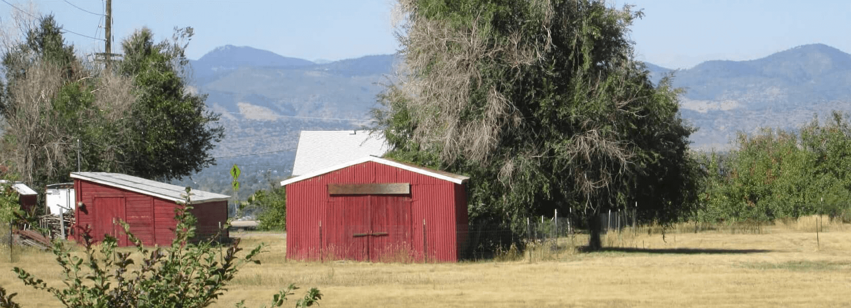
Going west into the Rocky Mountain Arsenal Wildlife Refuge along a 4-mile round-trip dirt trail or east under the A-Train rail tracks along 4-mile round-trip concrete path, this 8-mile round-trip trail starts you in the middle and you work your way east or west through the Great Prairie and near bison or airplanes.
")

High Line Canal Trail
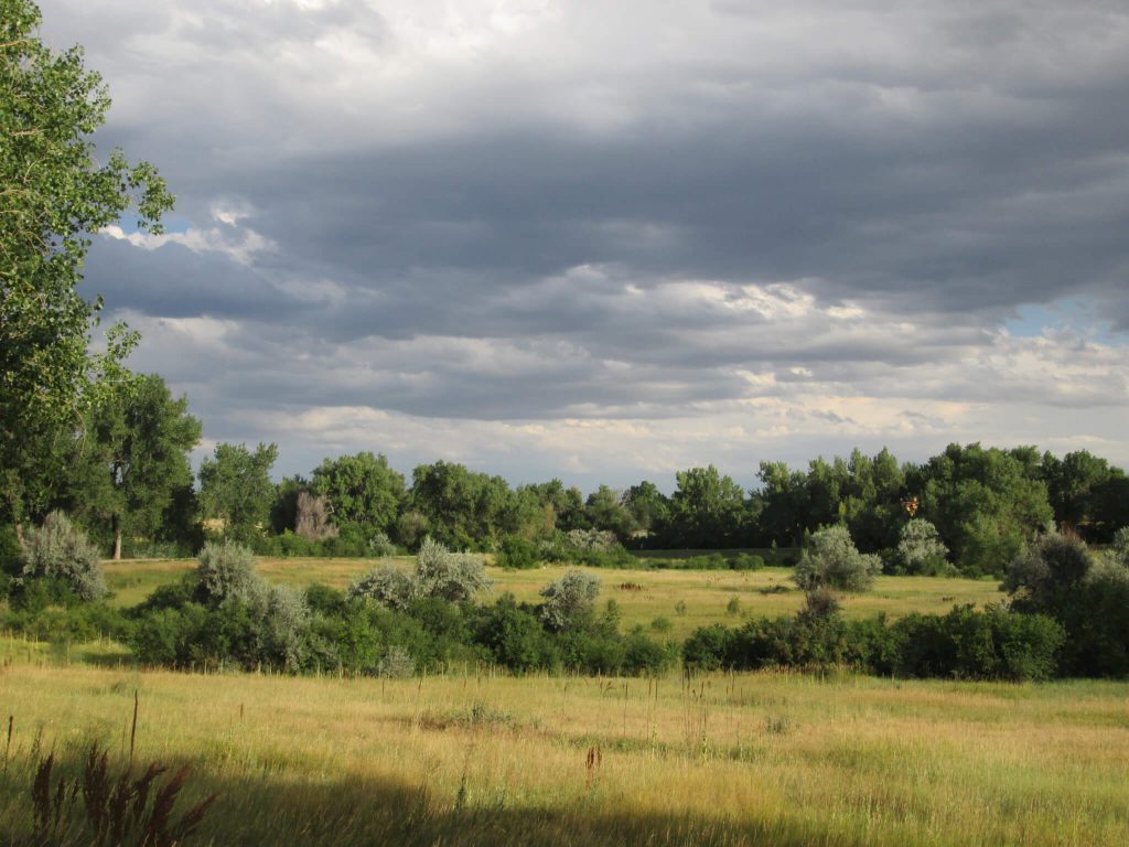
The High Line Canal and its Trail, at 71 miles long, run from Waterton Canyon to Green Valley Ranch, just south of Denver International Airport. Zigging, curving, and zagging, the trail of asphalt, concrete and soft surface, meanders through urban, rural, and suburban metro Denver. Only falling 200 feet over its entire length, the trail is relatively flat and easily traversed by walkers, hikers, rollers, and bikers.
Sand Creek Greenway Trail
The Sand Creek Regional Greenway traverses 14 miles along and over some of the major byways and highways of North/Northeast Denver/Northwest Aurora. Yet the entire time you’re enjoying the trail, you’ll enjoy wilderness in the city.


South Platte River Trail
The South Platte River traverses many miles along the South Platte; the Denver portion spans 18 miles along paved pathway passing historic rodeo sites, the origin of Denver’s founding, Confluence Park, and other cultural designations. It connects with the Clear Creek Trail, the Sand Creek Greenway, the Cherry Creek Trail, and the Mary Carter Trail, among others.
The 42-mile Hiking Loop Around Denver, Segment 8, The End
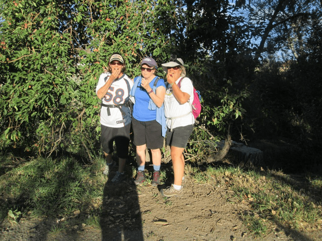
The 42-mile 9 Creeks Loop Around Denver (Segment 8) The 9 Creeks Loop is a 42-mile hike that physically circles the city of Denver on trail. It uses a combination of 4 regional trails to lap the city. I have broken the 42 miles into 8 easy ~5 mile segment that are...

Discovering a 42-Mile Urban Hike Through Denver on Trails
Discovering a 42-mile Urban Hike Through Denver on Trails When Chris first arrived in Denver, she took out a Denver Trail Map and googled info about Denver's trails. There wasn't much. She found lots of information about trails on the Front Range, but those within...
Hiking the High Line Canal from Mile 2-0-2
High Line Canal --The Search for Mile Marker 0 The End Is the Beginning Sometimes the end isn't the end. When the High Liners, a group of 7 adventure seekers walked into the final parking lot of the High Line Canal, we had scratched our heads. If we were at the end of...

Hiking the High Line Canal from Mile 6-2
High Line Canal Trail, the Final Miles Once again, the weather arrived to our walk in grand splendor. Nine of us headed out on High Line Canal Segment 11 (note: we have since renumbered the segments), our final meander of our 71 mile adventure. Feeling the love from...

Hiking the High Line Canal from Mile 6-8-6
Hiking High Line Canal Miles 6-8-6, Up and Back Plum Creek Please note: As of 2020, you can now park at the trailhead, walk to mile marker 7, and take the a Chatfield Park trail across the Plum Creek. You'll walk northeasterly, crossing the creek, and ending up on the...
Hiking the High Line Canal from Mile 15 to 10
High Line Canal from Miles 15-10 Highlands Ranch We had a short way to go and short time to get there. Fortunately, the 88 degree sun began to set as the eight of us headed west into its sunset through Highlands Ranch along the High Line Canal Segment 9. Feeling the...

Hiking the High Line Canal from Mile 25-15
High Line Canal from Mile 25-15--An Amble through Littleton If you haven't joined us yet, what are you waiting for? We are having an absolute blast connecting with the High Line Canal and walking the 71 miles from the Denver International Airport to Waterton Canyon...

Hiking the High Line Canal Mile 29-25
High Line Canal Mile 29-25 Greenwood Village to Centennial It's funny to think that walking 5 miles is chump change. But that's how we felt this morning after coming off our last segment of 10 miles. None the less, 20 High Liners headed out, with the support of the...
Hiking the High Line Canal Mile 38-29
High Line Canal Mile 38-29 Beautiful Cherry Hills People who enjoy Denver think they need to get up into the mountains to see amazing views. They couldn't be more wrong. This High Line Canal Segment 6 walk meandered through some of the prettiest places and views I've...
Hiking the High Line Canal Mile 47-36
High Line Canal Mile 47-36 Denver's Urban Core and Cherry Creek Respite 11 miles--that was our goal for this segment through Denver's urban core and through Cherry Creek--and we tackled it with finesse and grace. All 13 walkers on High Line Canal Segment 5 eagerly...